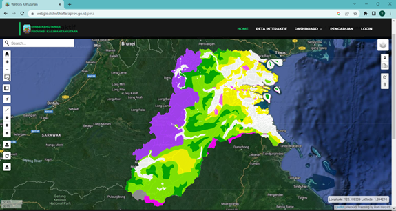
On June 9, 2023, the Forestry Agency of North Kalimantan, Indonesia launched a WebGIS-based Goegraphical Information Services webpage to assist relevant stakeholders pinpoint land area and identify land function in North Kalimantan. The webpage – https://webgis.dishut.kaltaraprov.go.id/ – is embedded in the agency’s website and allows users to check the administrative boundaries and land function of specific land areas in the province. Users can also utilize the page to report activities or possible encroachments in certain areas.
Even though information provided in the WebGIS is still limited, the system is considered as a start toward transparency and to improve the province’s provision of land information.
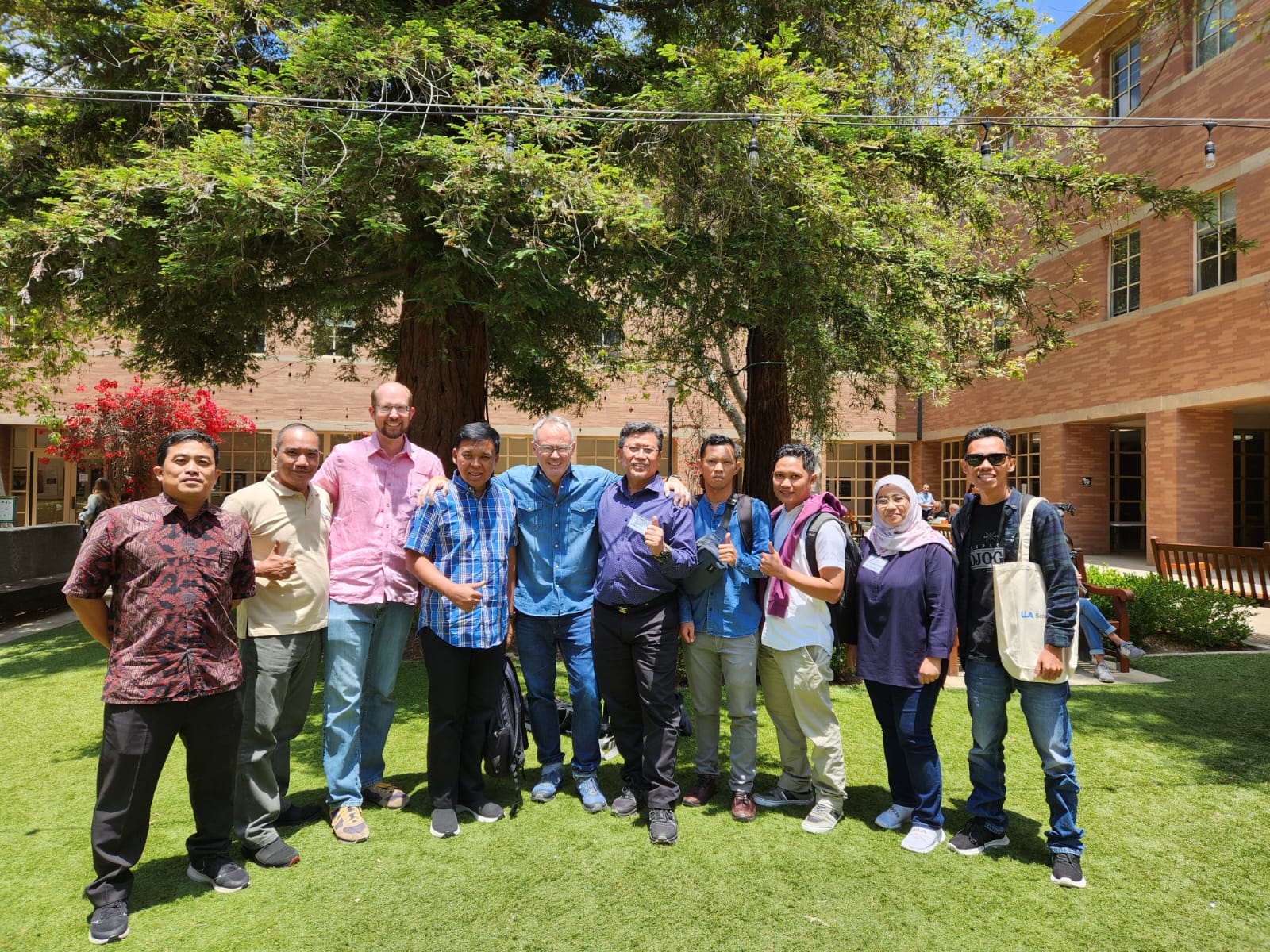
One of the Forestry Agency’s officers, Mr. Hendryk, participated in last week’s remote sensing workshop held at the University of California, Los Angeles (UCLA) campus together with representatives of 26 GCF Task Force member jurisdictions. Information gathered during the workshop is expected to assist in improving the WebGIS.